
On an active commercial build, owners, lenders, and project managers keep coming back to one question. What did the site actually look like on a given day? A phone call answers it loosely. A few photos from someone’s phone answer it partially. A consistent aerial record answers it exactly, on every building, on a dated timeline anyone on the team can pull up. Blue Nose Aerial Imaging of Tampa Bay flies progress documentation on construction sites across the Tampa Bay area, and this guide covers what that record is, how it gets built, and what it settles.
What progress documentation actually is
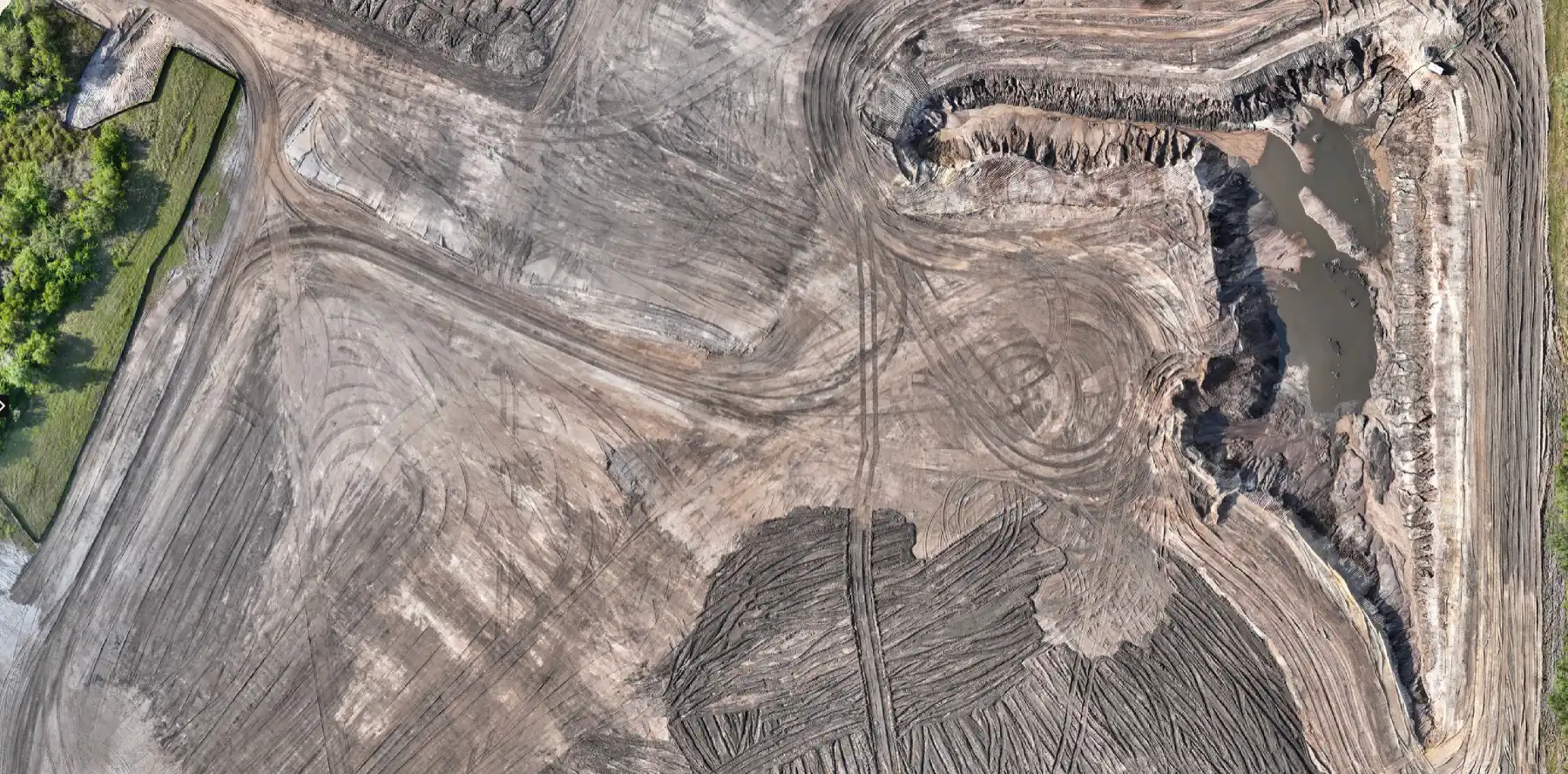
Progress documentation is a repeating aerial capture of a site on a set schedule, monthly, biweekly, or tied to project milestones. Each visit produces a high-resolution overhead map of the whole site, oblique photos from consistent angles, and a short flyover video, all time-stamped and filed together. Over the life of a project, those visits become a dated visual history of the build. Our orthomosaic mapping guide explains the overhead-map layer in detail.
The point is the repetition. One flight is a snapshot. A series of flights, shot from the same angles on a regular cadence, is a record you can scroll through month by month and compare directly.
What the record settles
A construction site generates disputes, reporting demands, and coordination problems that a dated visual history settles quickly.
- Owner and lender reporting. A monthly aerial set gives owners and construction lenders a clear, current view of progress without a site visit. Draw requests and status meetings move faster when everyone is looking at the same dated images.
- Coordination across trades. A current overhead view shows where each trade actually is, which helps a project manager sequence the next phase and catch conflicts before they reach the field.
- Dispute and claim support. When a subcontractor’s pay application claims more progress than is on the ground, or a delay claim hinges on when a phase finished, the dated record answers it. The answer comes from the file instead of from memory.
- Closeout and marketing. At handover, the full series documents the build from groundbreaking to finish, which supports the closeout package and gives the owner and the contractor a record worth showing.
What a single capture includes
Each flight produces a consistent set of deliverables: a high-resolution overhead map of the entire site, oblique photos from fixed compass directions so the angles line up over time, a short branded flyover video, and a dated PDF brief that ties the images together. We fly the same plan each visit so the captures stack cleanly into a comparison over the life of the project.

Where it pays off
Picture a general contractor running a multi-building commercial site with monthly flights on the schedule from day one. Halfway through the project, a subcontractor’s pay application claims a building is further along than the project manager believes. The team pulls the dated overhead set, compares the last two months, and settles the question in an afternoon instead of a site walk and a round of emails. The cost of the monthly flight is a fraction of the time it would take to argue the claim from memory.
How we run it
At Blue Nose Aerial Imaging of Tampa Bay, we set a capture cadence with the project manager, fly the same flight plan each visit so the images line up, and deliver each set as an organized, dated package the whole team can access. We work across commercial sites in Pinellas, Hillsborough, Manatee, Sarasota, and the surrounding Tampa Bay counties, monthly or per-milestone depending on the project. Our commercial drone services overview covers how progress documentation fits alongside mapping and inspection work, and our aerial mapping guide covers the overhead-map side in more depth.
If you manage commercial construction and you are still documenting progress with phone photos and trusting memory for the rest, a consistent aerial record covers what the phone photos miss.
Frequently Asked Questions
How often should we capture progress?
Most commercial projects run monthly, which gives a clean month-over-month comparison and lines up with draw and reporting cycles. Faster-moving phases or higher-stakes milestones can be captured biweekly or per-event. We set the cadence with you at the start.
Who actually uses the documentation?
Owners and lenders use it for reporting and draw requests, project managers use it for coordination and sequencing, and the whole team uses it if a pay application or a delay claim comes into question later. At closeout it becomes part of the handover record.
Is this the same as a drone map?
It uses the same overhead-map capture, but the purpose is different. A drone map documents the site at one point in time for layout and planning. Progress documentation repeats that capture on a schedule so you have a dated history to compare across the life of the build.
Can you match the flight schedule to our milestones?
Yes. We can run a fixed monthly or biweekly cadence, tie flights to specific milestones like a major pour or a structure topping out, or combine both. The flight plan stays consistent so every capture compares cleanly to the last.
What do we get after each flight?
You get a high-resolution overhead map of the site, oblique photos from consistent angles, a short flyover video, and a dated PDF brief, delivered as one organized package shortly after the flight.
Request Progress Documentation for Your Site

Rob Smith
Director of Operations, FAA Part 107 certified
Every mapping project starts with a quick conversation. Rob Smith, our Director of Operations, will help you scope the right aerial data package and answer your questions on a call.
What to expect on the call:
- We learn about your site and what you need to capture.
- We recommend the right aerial data package and timeline.
- You get a clear, no-pressure quote.
You can also reach the team at 941-376-3396.