
How aerial LiDAR captures terrain under Florida’s canopy, what the deliverables are, and how Blue Nose Aerial Imaging of Tampa Bay works as a subcontract aerial partner statewide.
Aerial LiDAR has changed what is economical to map in Florida. A laser sensor flown over a wooded forty-acre site can capture the ground surface beneath the canopy in a single day, where a ground crew would spend a week and still struggle to reach parts of it. For surveying firms, civil engineers, and developers, that capability has opened up projects that conventional methods could not price.
Because this guide is written for licensed professionals, the line is worth stating plainly: in Florida, the practice of surveying and mapping belongs to a licensed Professional Surveyor and Mapper under Chapter 472 of the Florida Statutes, and to no one else. Blue Nose Aerial Imaging of Tampa Bay is not that firm. Blue Nose Aerial Imaging of Tampa Bay flies the sensor and delivers the aerial data layer, the LiDAR point cloud and the terrain products built from it, and a licensed surveyor or engineer incorporates that data into a sealed deliverable as the professional of record. The rest of this guide walks through what aerial LiDAR captures, the deliverables it produces, how surveyors, engineers, and developers each use them, and how the partnership runs.
What Aerial LiDAR Mapping Actually Is
LiDAR stands for light detection and ranging. A LiDAR sensor fires rapid laser pulses at the ground and times their return, and from millions of those measurements it builds a dense three-dimensional point cloud of everything below. Mounted on a drone, the sensor flies a programmed pattern over the site and records the terrain, the vegetation, the structures, and the surface features as located points in space.
The defining advantage of LiDAR over photographic methods is that the laser finds gaps in vegetation. Some pulses pass through openings in the canopy and reach the bare earth, so even on a heavily wooded Florida site, the sensor records points on the ground surface beneath the trees. Processing then separates, or classifies, those ground points from the vegetation and the structures, which produces a clean model of the bare-earth terrain. Photographic methods cannot see through canopy. LiDAR can, and in Florida that difference is often decisive.
The Deliverables
Aerial LiDAR produces a set of data products that surveyors and engineers use as inputs. The LiDAR drone survey guide details the capture and quality-control workflow behind these deliverables. The LiDAR drone survey guide details the capture and quality-control workflow behind these deliverables. The classified point cloud is the foundation, the full three-dimensional dataset with ground, vegetation, and structures separated. From it come the bare-earth digital terrain model, which represents the ground surface with vegetation removed, and the digital surface model, which includes everything sitting on top of the ground. Contour data at the interval the project needs is generated from the terrain model, along with breaklines that capture ridges, ditches, edges of pavement, and the other features that define how the surface behaves.
These are aerial data products. They are not survey deliverables in the regulated sense, and Blue Nose Aerial Imaging of Tampa Bay does not seal them. A licensed surveyor or civil engineer takes them into their workflow and produces the sealed product their client needs.
How LiDAR Is Captured Correctly
LiDAR data is only as trustworthy as the control behind it. A correct mission ties the aerial data to ground control established on the site, flies the area with appropriate overlap and point density for the deliverable, and is processed and quality-checked against that control. Blue Nose Aerial Imaging of Tampa Bay captures LiDAR under controlled field conditions with ground control, so the deliverable holds up when a licensed professional builds on it.
Current industry accuracy standards for this kind of work, including the ASPRS Positional Accuracy Standards for Digital Geospatial Data (Edition 2, Version 2, 2024), which added dedicated guidelines for mapping with UAS and LiDAR, give surveyors and engineers a common framework for specifying what a dataset must meet. Blue Nose Aerial Imaging of Tampa Bay plans each mission to the deliverable the partner specifies and documents how the data was captured and controlled, so the partner can evaluate it against their own requirements rather than against a marketing claim.
Use Cases by Audience
Surveying firms, civil engineers, and developers each put aerial LiDAR data to different use.
Surveying firms
When canopy, brush, acreage, or unsafe terrain makes ground methods uneconomical, a licensed surveying firm brings in Blue Nose Aerial Imaging of Tampa Bay to fly and process the site. The firm folds the classified point cloud and contour data into its sealed survey and stays the professional of record.
Civil engineers
Civil engineers use the LiDAR terrain data as the existing-conditions foundation for design. A digital terrain model and contours give the design team the ground surface for grading, drainage, earthwork, and layout, and the engineer applies judgment and seals the work.
Developers
Developers use aerial LiDAR during due diligence and early planning. Terrain data, contours, and a surface model show how a site drains and where the grade changes before detailed design begins, quickly and at a feasibility-budget cost on wooded or large parcels.
Why Florida Makes LiDAR Worth It
Florida is a LiDAR-friendly state for a simple reason: so much of it is vegetated. Wooded parcels, dense undergrowth, wetland margins, and tree-canopied corridors are exactly the conditions where ground crews are slowest and where photographic mapping fails to see the earth. LiDAR’s canopy penetration turns those sites from week-long field efforts into day-long flights, which changes the economics enough to make projects viable that otherwise would not pencil. For surveying firms competing on price and turnaround, that is often the difference in winning the work.
How Blue Nose Aerial Imaging of Tampa Bay Works as Your Aerial Partner
Blue Nose Aerial Imaging of Tampa Bay works as a subcontract aerial partner statewide across Florida. An engagement starts with the deliverable the partner needs, whether that is a classified point cloud, a bare-earth terrain model, contour data at a specified interval, or a combination of them. Blue Nose Aerial Imaging of Tampa Bay provides a written scope, a deliverable specification, and a price, flies and processes the mission, and delivers the data for the partner to incorporate under their seal. Because this work travels, the LiDAR program operates across the state rather than only within the Tampa Bay no-mileage area, on projects where the economics support it.
Our Director of Operations holds a master’s degree in Aeronautics with a specialization in Aviation Human Factors, an FAA Part 107 remote pilot certificate, and a current Airline Transport Pilot certificate as a 747 captain. The discipline behind each mission comes from commercial aviation.
What It Costs
LiDAR partnership missions typically range from $2,500 to $9,500, depending on acreage, point density, the deliverables, and site conditions. The LiDAR drone survey cost guide breaks those factors down in detail.
Frequently Asked Questions About Aerial LiDAR Mapping
What is aerial LiDAR mapping?
Aerial LiDAR mapping uses a laser sensor flown on a drone to build a dense three-dimensional point cloud of a site, including the ground surface beneath vegetation. From that point cloud come terrain models, surface models, and contour data. Surveying firms, civil engineers, and developers use these aerial data products as inputs to their own work.
Can LiDAR see the ground through trees?
Yes, within limits. Enough pulses slip through gaps in the canopy to register points on the bare ground, even over woods, and processing then pulls those ground points away from the vegetation to build a bare-earth model. That ability to reach the ground under cover is the main reason LiDAR gets used on Florida’s vegetated sites, where photo-based methods come up blind.
Is aerial LiDAR mapping a land survey?
No. Aerial LiDAR mapping produces aerial data products such as point clouds, terrain models, and contour data. A land survey is the regulated practice of surveying and mapping under Chapter 472 of the Florida Statutes, which only a licensed Professional Surveyor and Mapper may perform. Blue Nose Aerial Imaging of Tampa Bay provides the aerial data, and a licensed surveyor or engineer incorporates it into their sealed deliverable and remains the professional of record.
How do surveying firms use Blue Nose Aerial Imaging of Tampa Bay for LiDAR?
They bring Blue Nose Aerial Imaging of Tampa Bay in as a subcontract aerial partner when a site’s canopy, brush, acreage, or terrain makes ground methods too slow or costly. Blue Nose Aerial Imaging of Tampa Bay flies and processes the LiDAR and hands over the point cloud and contours; the firm folds that into its sealed survey and stays the professional of record. The drone LiDAR services guide covers the model in depth.
What deliverables does aerial LiDAR produce?
It starts with the classified point cloud. Off of that come a bare-earth terrain model, a digital surface model, contour data at whatever interval the project calls for, and breaklines along ridges, ditches, and pavement edges. The partner says which of these the job needs, and Blue Nose Aerial Imaging of Tampa Bay produces them.
How much does an aerial LiDAR mapping project cost?
Most LiDAR partnership missions land between $2,500 and $9,500, set by acreage, point density, the deliverable set, and site conditions. The LiDAR drone survey cost guide breaks the factors down.
Does Blue Nose Aerial Imaging of Tampa Bay provide LiDAR across Florida?
Yes, statewide. The program travels well past the Tampa Bay no-mileage counties to projects across Florida wherever the economics support the trip.
Chapter 472 Notice
Blue Nose Aerial Imaging of Tampa Bay provides aerial imagery, photogrammetric data products, and related reporting services for informational, operational, and documentation purposes only. Our deliverables, including orthomosaics, 3D models, point clouds, cut/fill reports, and stockpile inventory reports, are not survey products and are not intended for use in legal boundary determinations, property conveyances, permitting requiring licensed survey work, or any application governed by Chapter 472, Florida Statutes. Clients requiring licensed surveying and mapping services should engage a Florida-licensed surveyor and mapper. Blue Nose Aerial Imaging of Tampa Bay is not a licensed surveying and mapping firm and does not represent itself as such.
Work With Us on a LiDAR Project
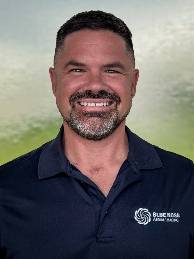
Rob Smith
Director of Operations, FAA Part 107 certified
Blue Nose Aerial Imaging of Tampa Bay works behind your seal as the aerial data partner on LiDAR projects anywhere in Florida. To discuss a partnership or a specific site, see the LiDAR mapping service page, or talk it through with Rob Smith, our Director of Operations, on a call.
What to expect on the call:
- We learn about the site, the acreage and canopy, and the deliverable you need to work under your seal.
- We recommend the capture plan, the control, the point density, and the deliverable set.
- You get a written scope, a deliverable specification, and a fixed price.
You can also reach the team at 941-376-3396.