")
Every project, whether a construction site, infrastructure inspection, or land development generates critical data. The challenge is getting that data fast and in a usable form for decision-making. Traditional surveys or ground inspections can take days, leaving project managers waiting on updates.
Drone imagery changes the game by compressing data collection into hours and delivering rich, shareable visuals. The result is a workflow where you can capture a site at lunchtime and make informed decisions by end-of-day. In this post, we’ll explore how Blue Nose Aerial Imaging of Tampa Bay helps construction firms, engineering consultants, inspectors, developers, and municipalities integrate drone data into their daily workflows.
Why Integrating Drone Data Is a Game-Changer in Construction

Faster data capture: Drones can survey large areas in a fraction of the time of manual methods. For example, a drone can map 100 acres in hours instead of a week, drastically accelerating project updates. Studies show using survey-grade drone data can save 70–90% of traditional surveying costs by trimming labor and equipment needs. Faster data means issues are caught early and projects keep momentum.
High-precision results: Speed doesn’t come at the expense of accuracy. With GPS correction (RTK) and proper ground control, drone mapping achieves survey-grade precision. Modern drones can reach 3–5 cm accuracy in outputs like maps and 3D models, rivaling traditional survey measurements. In practical terms, volumetric analyses from aerial photogrammetry are often within a few percent of hand measurements, close enough for confident earthwork and quantity decisions.
Enhanced safety: Integrating drone imagery also makes workflows safer. Instead of sending crews into hazardous or hard-to-reach areas, a drone does the job from above. By flying a drone to measure stockpile volumes or inspect a roof instead of dispatching someone to traverse a dangerous site, teams can track progress and assets faster and with far less risk.
Better collaboration: Drone data integration isn’t just about collecting data, it’s about sharing it. Aerial maps and orthoimages give all stakeholders a single source of truth. Project managers, engineers, and owners can all refer to the same up-to-date visuals to discuss progress or issues. This reduces confusion and disputes. When everyone from the site superintendent to the city inspector is literally on the same page (or same map), decisions are made with clarity and confidence.
Orthomosaic Maps and DEMs: Aerial Data Foundations

One of the primary drone deliverables is the orthomosaic map: a high-resolution, stitched aerial image of your entire site. Unlike a single photo, an orthomosaic is geometrically corrected (i.e. map-accurate), so you can take measurements and overlay drawings on it. Construction and engineering teams use orthomosaic maps as an up-to-date base layer for planning and monitoring. For instance, an orthomosaic map of a roadway provides a clear, to-scale snapshot of current conditions, helping DOT teams track pavement wear and plan maintenance more efficiently. Instead of abstract notes, officials see exact crack locations or erosion areas from a bird’s-eye view.
Alongside orthos, drones produce Digital Elevation Models (DEMs) – 3D terrain models capturing the site’s topography. These elevation models (often delivered as color-coded surfaces or contour maps) let engineers and earthworks contractors verify grades, calculate volumes, and identify drainage patterns. Need to know how much soil was moved or if a slope meets design specs? A drone-derived DEM has you covered with precise elevation data. Volumetric analysis is a direct benefit here: by comparing drone-generated surfaces before and after an excavation, you can compute cut/fill volumes or stockpile quantities in minutes. Because these models are geo-referenced and high-density, volume calculations are extremely close to ground truth – often within a few percentage points of traditional survey results, giving project managers confidence in billing and resource estimates.
Site Progress Reporting: Drone Imagery for Stakeholder Alignment

Keeping projects on schedule means keeping everyone informed. Drone imagery makes site progress reporting almost effortless. Instead of chasing subcontractors for updates or snapping cellphone pics, construction managers can schedule weekly or biweekly drone flights. The drone captures consistent aerial photos of the site from the same angles and altitudes, as well as a complete overhead map. These are then compiled into a branded progress report – typically a PDF or online dashboard, that shows exactly what changed since last time.
Imagine being able to send your client or executive team a weekly progress report with an up-to-date orthomosaic, annotated photos, and even a quick video flyover of the jobsite. Drone-based progress reports provide visual proof of work completed, materials delivered, and any areas of concern, all timestamped and formatted for quick review.
Thermal Imaging: Seeing the Unseen

Not all issues are visible to the naked eye. This is where drone-based thermal imaging becomes a powerful addition to your workflow. By capturing infrared data from the air, drones can detect temperature differences that indicate problems like water leaks, insulation gaps, electrical hotspots, or HVAC inefficiencies – issues that standard photos might miss entirely. For construction firms and facility managers, integrating thermal drone scans can prevent costly surprises.
The workflow impact is significant: thermal overlays (visual images combined with thermal data) can be added to your site plans or reports to highlight trouble areas. Blue Nose Aerial Imaging provides radiometric thermal images calibrated with real temperature values, so an engineer or inspector can click a hotspot and see how hot it really is. These deliverables often come with a summary highlighting any anomalies.
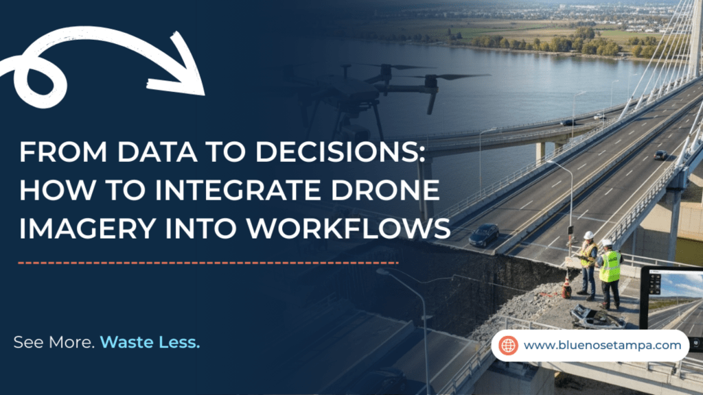
Aerial Inspection & Documentation: Safer, Smarter Assessments
For inspectors, engineers, and municipalities, aerial inspections offer a new standard of thoroughness and safety. Drones equipped with high-resolution cameras can document structures and sites in great detail – from bridges and cell towers to building facades and roofs – without the need for lifts, ladders, or lane closures. The integration of drone inspections into workflows means you get comprehensive visual records of assets, captured in a fraction of the time of a manual inspection.
Consider how infrastructure inspections used to work: you might close a road, put an inspector in a bucket truck, and spend hours taking photos of a bridge. Now, a single drone flight can cover the entire bridge (including hard-to-reach undersides) in minutes, producing hundreds of photos and even 3D models for later analysis. The data is not only safer to gather but also more consistent, a drone follows a programmed path, ensuring no section is overlooked, and all imagery is geo-tagged for location reference.
Seamless Integration with Your Existing Tools
A big concern when adopting any new data source is compatibility – how easily can you use it with the software and processes you already have? The good news is that modern drone data deliverables are designed for plug-and-play integration. When you work with a professional service like Blue Nose Aerial Imaging of Tampa Bay, the orthomosaic maps, models, and reports you receive will drop directly into your existing workflows. For instance, orthomosaic map files come geo-referenced and in common formats (like GeoTIFF or KMZ) so you can import them straight into GIS platforms or tools like Autodesk Civil 3D. Point clouds and 3D meshes can be provided in universal file types (LAS, OBJ, etc.) ready for BIM and CAD software. If you’re using project management suites such as Procore, you can attach drone PDF reports or even integrate photo feeds via plugins – making aerial updates visible to all stakeholders without leaving those applications.
FAQ: Integrating Drone Imagery into Workflows
How accurate is drone mapping for construction surveys?
When done professionally with high-quality equipment, drone mapping can achieve 3–5 cm accuracy vertically and horizontally. This is comparable to traditional survey methods for many use cases.
How do drone reports integrate with our project management or BIM software?
Most drone data can be directly imported or attached to the software you already use. Orthomosaic maps and 3D models can be loaded into Autodesk tools, ArcGIS, or BIM platforms as layers or references.
Is drone data beneficial for municipalities and public infrastructure?
Absolutely. City and county agencies are using drone imagery for roadway inspections, stormwater management, bridge assessments, and more.
Ready to leverage drone imagery for your next project? Blue Nose Aerial Imaging of Tampa Bay is here to help you seamlessly integrate aerial data into your workflow. Our team delivers decision-ready visuals within 48 hours on most tasks, formatted for the tools you already use. Schedule a consultation to discuss your next project and let’s turn high-quality drone data into high-value outcomes for your organization.